
Heart of England Way Association
Route Maintenance
Date: Monday 13 Oct 2025
Went out to fix multiply posts and clear path today.
New way marker post SP 21908 96114
Added new way marker to post SP 21962 96076
Cleared fallen tree across path - SP 22003 96058
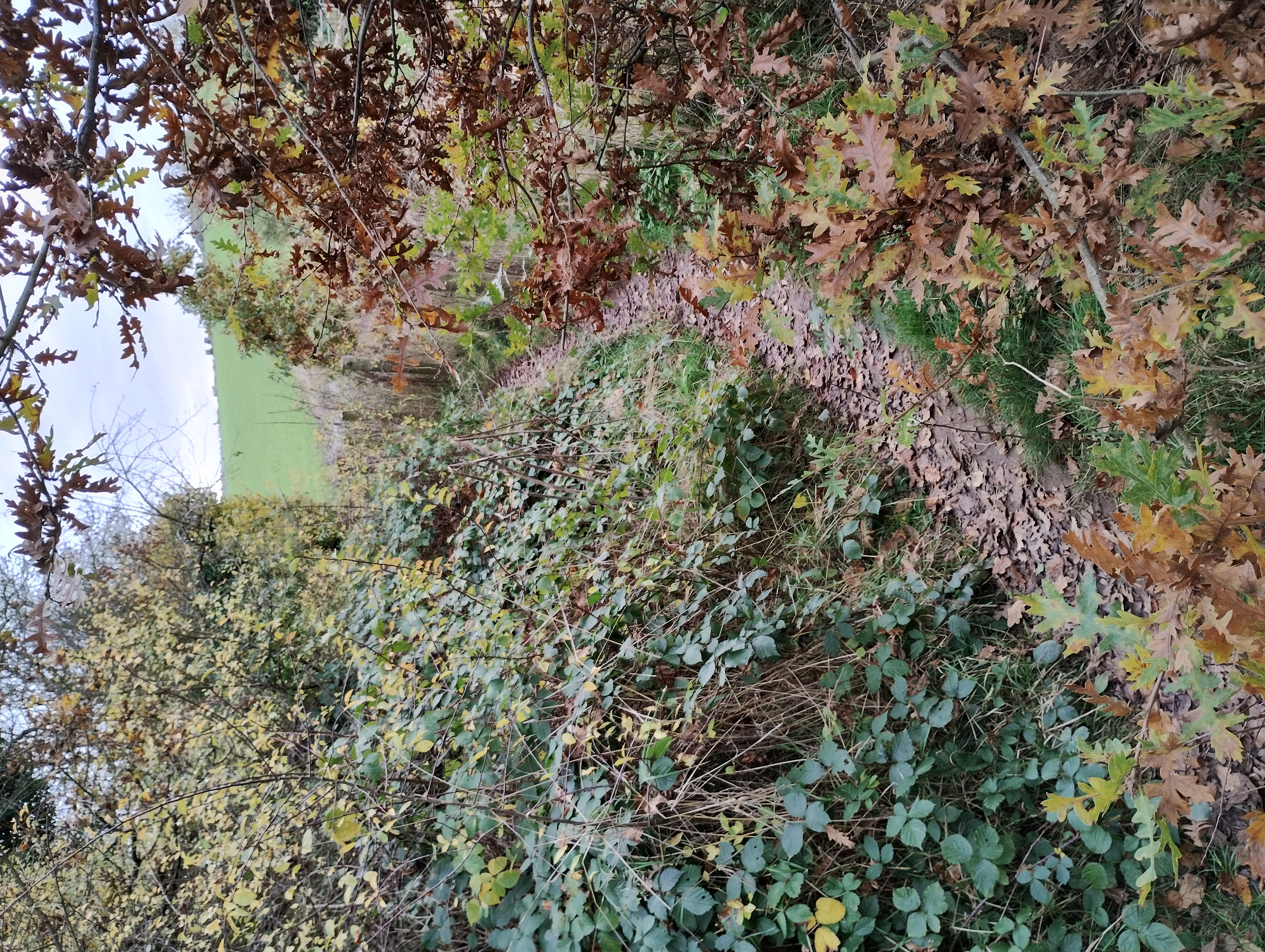
Added new way marker post by firing range SP 22566 95669
Repair / replace damaged Marker post - SP 23973 94775
Repair / replace damaged Marker post - SP 23736 94292
Location: Kingsbury
Grid Ref: SP 22579 95667
Lat Long: 52.558376, -1.6683836


Volunteers: Paul, Jim, Alan, Bill, Ian G., Steve
Date: Monday 15 Sep 2025
Repair to way marker post at High House Farm.
Path clearance beside stiles by Wood Corner Farm.
Repair to way marker post at Green End.
Adding extension to marker post by The Metlins, section 8 Shustoke to Colliers Farm
Location: High House & Wood Corner Farms, Green End. The Metlins.
Grid Ref: SP 25897 87489
Lat Long: 52.484711, -1.620116


Volunteers: Bill, Sam, Ian G. Steve
Date: Friday 12 Sep 2025
1. New signpost - Starveall Farm - SP 16407 72031
2. Chipping Campden High Street opposite archway added E2 marker - SP 15090 39130
3. New signpost - Chipping Campden Church Street junction with High Street - SP 15281 39321
4. New way marker - Chipping Campden junction of Cidermill Lane and Church Street - SP 15438 39486
5. New way marker - Chipping Campden exit from school into alleyway leading to Cidermill Lane - SP 15459 39528
6. New way marker - Chipping Campden school into alleyway - SP 15446 39614
7. New way marker - Baker's Hill - SP 16444 42576
Location: Chipping Campden
Grid Ref: SP 15280 39319
Lat Long: 52.052051, -1.7785838


Volunteers: Ian P. Steve
Date: Monday 11 Aug 2025
New post added to help walkers find exit point in field.
Path clearance over grown foliage and installing of new way markers.
Location: The Metlins and Dumble Wood
Grid Ref: SP 24112 88966
Lat Long: 52.49807, -1.6462557


Volunteers: Bill, Ian G. Lorna and Steve
Date: Monday 14 Jul 2025
Clear over grown grass, brambles and branches
Location: End of section Packington Moor
Grid Ref: SK 1508 0580
Lat Long: 52.649726, -1.7782413


Volunteers: Carole, Lorna, Kay, Ian G. Steve
Date: Thursday 03 Jul 2025
Clear over grown vegetation, grass, brambles and trees
Location: North of Chadwick End
Grid Ref: SP 22117 74022
Lat Long: 52.36381, -1.6766258


Volunteers: Bill, Ian G. Steve
Date: Monday 23 Jun 2025
Over grown vegetation
Location: Broad Campden
Grid Ref: SP 15150 36830
Lat Long: 52.029677, -1.780589


Volunteers: Bill, Ian G. Steve
Date: Monday 16 Jun 2025
Over grown vegetation
Location: Broad Campden
Grid Ref: SP 15330 37200
Lat Long: 52.032999, -1.7779489


Volunteers: Ian, Bill, Ian G. Steve
Date: Monday 21 Apr 2025
New post fitted at top of Baker's Hill showing route into Baker's Hill Wood.
Location: Baker's Hill, Mickleton
Grid Ref: SP 16489 42669
Lat Long: 52.082135, -1.7607923


Volunteers: Carole, Anne, Ian P. Bill, Ian G. and Steve
Date: Monday 21 Apr 2025
Cleared over grown foliage from path.
Location: Mickleton Hill Farm
Grid Ref: SP 16160 40480
Lat Long: 52.062464, -1.7656963
Volunteers: Carole, Anne, Ian P. Bill, Ian G. and Steve


