
Heart of England Way Association
Route Maintenance
Date: Wednesday 14 Oct 2026
Route clearance
Location: North of Jerrys Lane
Grid Ref: SK 14512 06673
Lat Long: 52.657633, -1.786913
Volunteers: Bill, Lorna. Kay, Steve
Date: Monday 28 Sep 2026
Fire damaged post needs replacing
Location: North of Gate Farm
Grid Ref: SP 21519 76467
Lat Long: 52.385814, -1.6852515
Volunteers: Ian P. Steve
Date: Thursday 17 Sep 2026
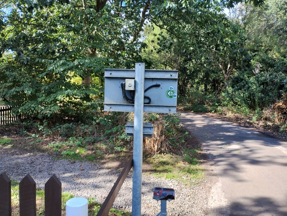
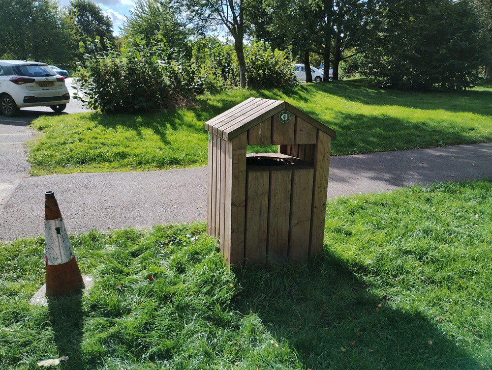
Installed new way markers by the model railway station.
This is an alteration to the route taking walkers through the railway car park and by visitors centre.
Due to the Park closing a small section of the route over a damaged foot bridge, all pedestrian traffic now uses the single track road to the station.
Location: Kingsbury Water Park
Grid Ref: SP 20587 96073
Lat Long: 52.562018, -1.698966
Volunteers: Ian B. Steve
Date: Monday 14 Sep 2026
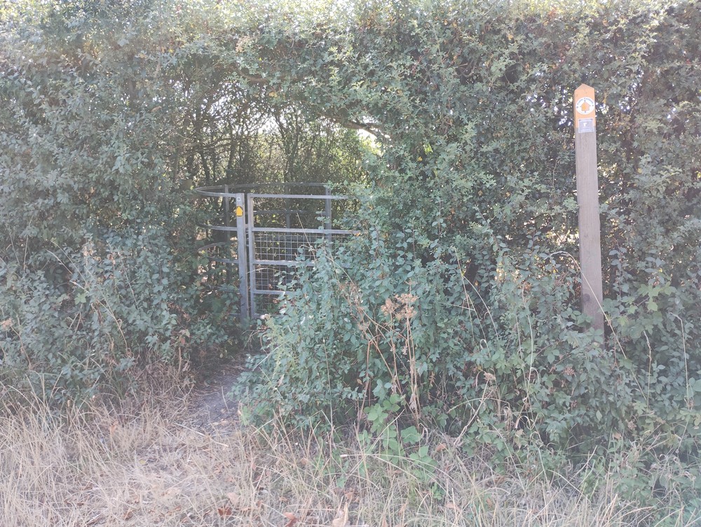
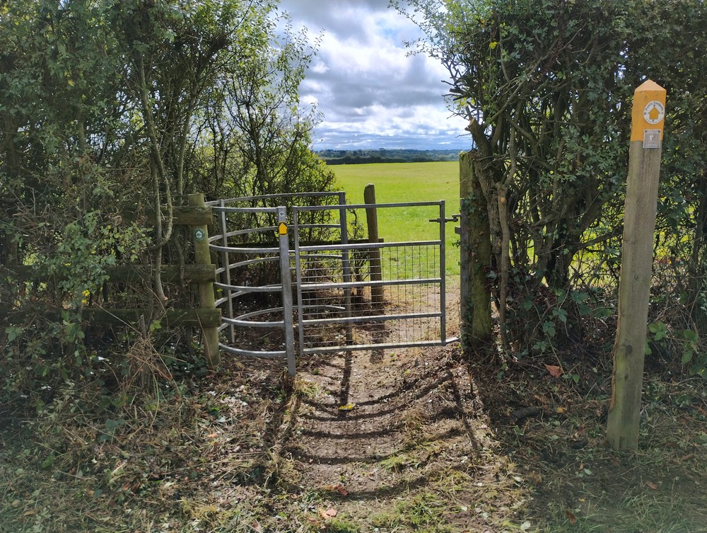
Path clearance and re-sited marker post - SP 20600 70311
Cleared path by gate - SP 20670 70137
Replaced marker post - SP 20094 70365
Location: Rowington Green
Grid Ref: SP 20586 70314
Lat Long: 52.330528, -1.699333
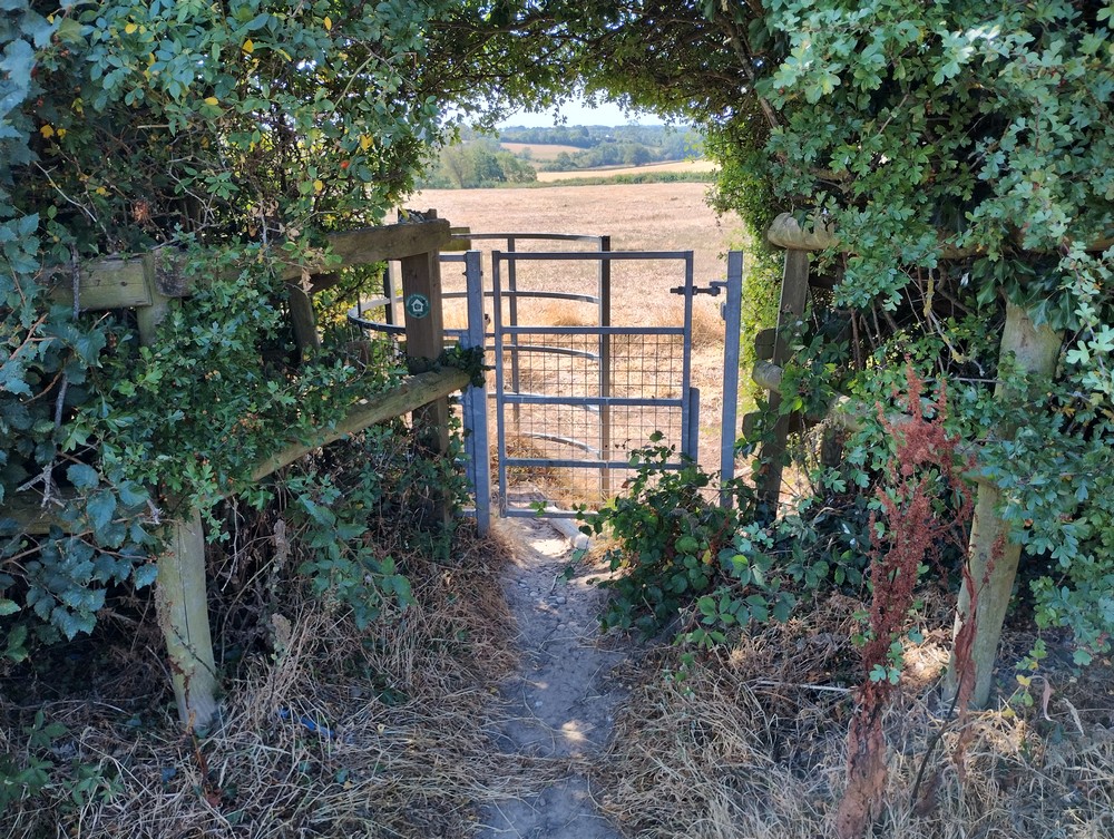
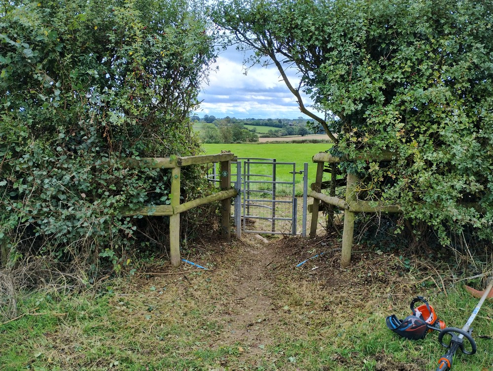
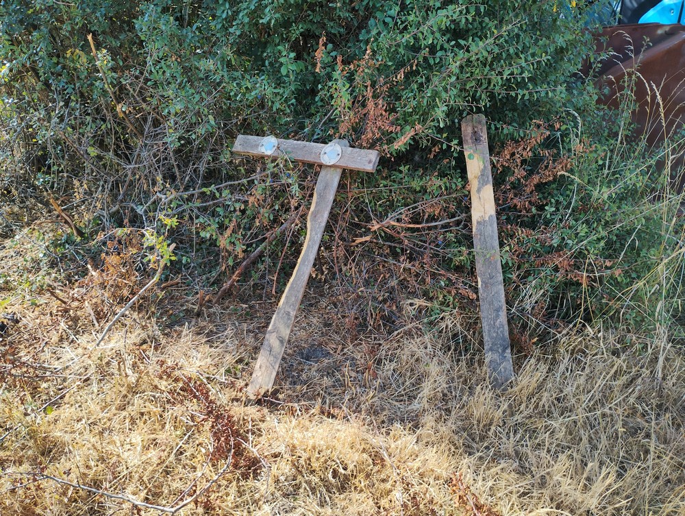
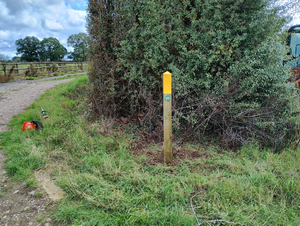
Volunteers: Tony, Bill, Ian P. Steve
Date: Monday 07 Sep 2026
Route clearance around gates and way marker post.
Location: Nether Whitacre
Grid Ref: SP 22586 93505
Lat Long: 52.538997, -1.668416


Volunteers: Tony, Bill, Steve
Date: Friday 28 Aug 2026
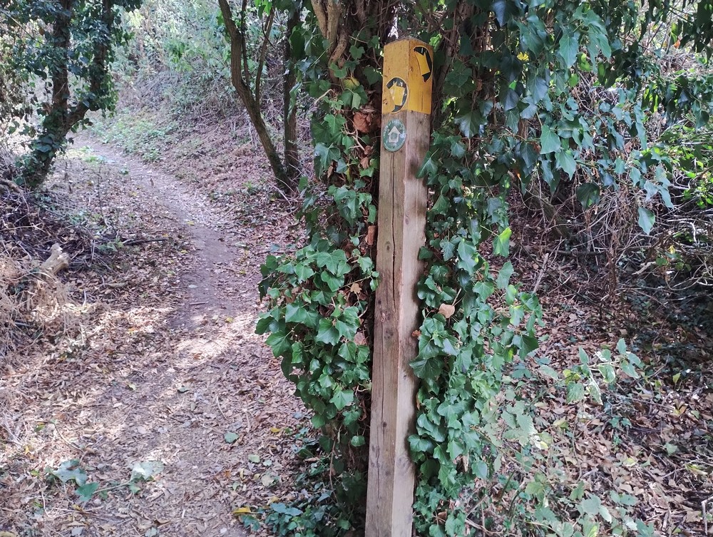
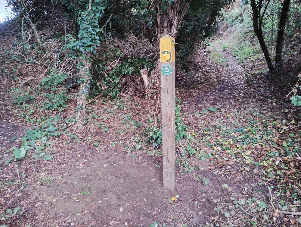
Path clearance bridge south of The Fish, Wixford
and north Re installed way marker post
Location: Wixford
Grid Ref: SP 08790 54844
Lat Long: 52.191765, -1.872831
Volunteers: Tony, Anne, Bill, Ian G., Steve
Date: Monday 17 Aug 2026
Route clearance
Location: North of Priests Park Wood
Grid Ref: SP 21561 73147
Lat Long: 52.355967, -1.684843


Volunteers: Bill, Ian G., Steve, Alan
Date: Sunday 19 Jul 2026
Arden way Maintenance
Location: Ullenhall, Jackson's wood
Grid Ref: SP 12868 67586
Lat Long: 52.306246, -1.812689
Volunteers: Sam, Bill, Ian P., Lorna
Date: Tuesday 09 Jun 2026
Path clearance
Location: Greenhill Farm
Grid Ref: SP 10978 63492
Lat Long: 52.269477, -1.8405461


Volunteers: Anne B. Tony B. Bill, Ian G. Steve
Date: Sunday 07 Jun 2026
Remove over grown foliage
Location: Nunley Farm
Grid Ref: SP 21913 73363
Lat Long: 52.357893, -1.6796644


Volunteers: Ian G. Steve


